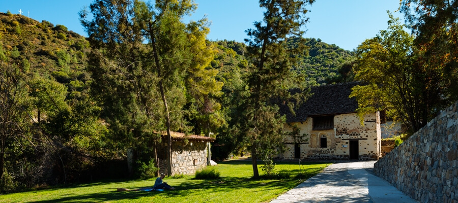
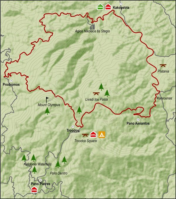
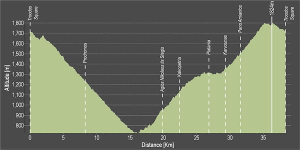
This route descends from Troodos square to the monastery of Agios Nikolaos tis Stegis and climbs steadily from the chromium quarry on the Troodos – Karvounas road, back to Troodos square.
After the Prodromos crossroads, the route goes along a forest road to Agios Nikolaos. From there the it goes along the paved road from Kakopetria to Karvounas, turns right and then climbs Troodos. After almost 9 kilometers of steep uphill the route goes past the Troodos Geopark Information Center in Amiantos. It then reaches the Troodos – Prodromos road and turns left to return to Troodos square.
Difficulty rate: A very difficult route. It requires a 20-speed road bike in good condition.
Road condition: Paved throughout.
To download the route in gpx format click here
| Distance: | 37.7km |
| Elevation Gain: | 1635m |
| Highest point: | 1824m |
| Lowest point: | 726m |
| Loop: | YES |
| Terrain: | Mountain |
| Road surface: | Paved |
| Section Distance (km) | Total Distance (km) | |
| Troodos Square | 0,0 | 0,0 |
| Prodromos | 8,2 | 8,2 |
| Ag. Nikolaos tis Stegis | 11,6 | 19,8 |
| Kakopetria | 2,6 | 22,4 |
| Platania | 4,5 | 26,9 |
| Karvounas | 2,3 | 29,2 |
| Pano Amiantos | 2,3 | 31,5 |
| Troodos Square | 6,2 | 37,7 |


