| GPS coordinates of the starting point: | Lat: 34.975349 Lon: 34.075822 |
| Altitude of the starting point: | 13m |
| Altitude of the highest peak: | 30m |
| Altitude of the end peak: | 13m |
| Starting point: | (a) the Sea Caves / (b) Agioi Anargyroi Church. |
| Length: | 4km |
| Estimated duration: | 1.5 hour |
| Difficulty rate: | 1 |
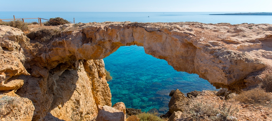
Points of interest: The Sea Caves – Agioi Anargyroi Trail is located on the cape of Cape Gkreko, within the National Forest Park, which is a Natura 2000 area. A big part of the route runs parallel to the shoreline. From the Sea Caves to Kavos hill the trail passes through a rocky area with sparse halophytic vegetation. It then follows a course due north, through low shrubby vegetation. Passing through an area of fields planted with cereals and through an area of low bushes the trail reaches a natural bridge called ‘Kamara tou Koraka’ and ends up at Agioi Anargyroi Church. The church is built over a sea cave, where it is believed that saints (known as Agioi Anargyroi) lived as ascetics. The trail connects to the Konnoi – Agioi Anargyroi Trail, and to the Aphrodite Trail. About 200 metres to the west of the end of trail, there is a picnic site with drinking water.
Flora: While hiking you can study the plants: prickly burnet (Sarcopoterium spinosum), wild thyme (Thymus capitatus), rock samphires (Crithmum maritimum), lentisk (Pistacia lentiscus), wild olive (Olea europaea).

