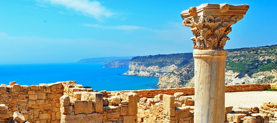
Kourion Archaeological Site
The archaeological remains of Kourion – which was one of the island’s most important city-kingdoms in antiquity – are of the most impressive on the
You are here: Home » Discover Cyprus » Rural
The website is a deliverable within the implementation of the project “Rural Tourism Marketing Plan 2007-2013”, aiming to highlight the unique characteristics and aspects of rural Cyprus, which contribute to the promotion of the island not only as a sun and sea destination, but also as a destination offering visitors rich experiences with various activities in its hinterland. The project is co-funded by the European Regional Development Fund (ERDF) of the European Union.

The archaeological remains of Kourion – which was one of the island’s most important city-kingdoms in antiquity – are of the most impressive on the
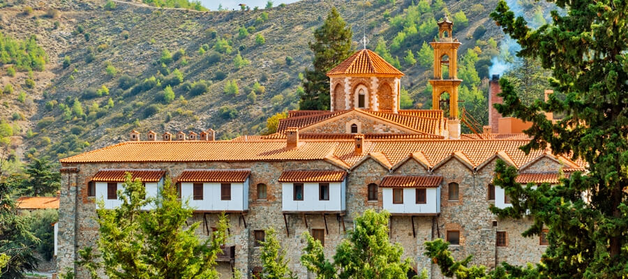
Located on the slopes of Kionia, in the valley of Machairas mountains, Machairas Monastery is one of the three Royal and Stavropegic of the island
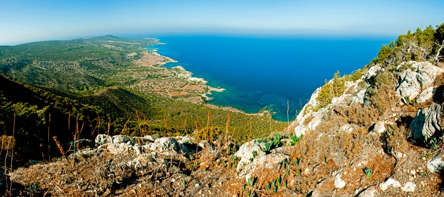
GPS coordinates of the starting point: Lat: 35.056063 Lon: 32.345565 GPS coordinates of the ending point: Lat: 35.056063 Lon: 32.345565 Altitude of the starting point:
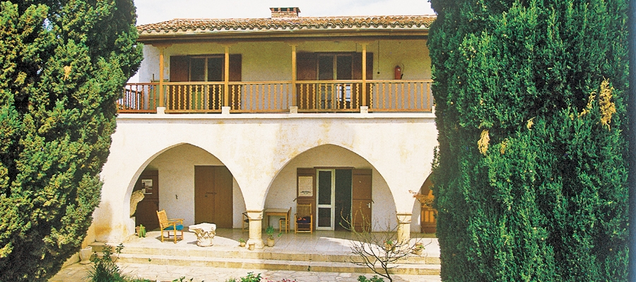
Kourion Archaeological Museum is housed in a traditional building that was once the private residence of the late George McFadden, Assistant Director of the University
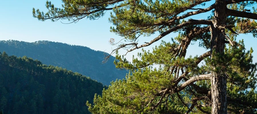
GPS coordinates of the starting point: Lat: 34.912177 Lon: 32.837174 GPS coordinates of the ending point: Lat: 34.896838 Lon: 32.837357 Altitude of the starting point:
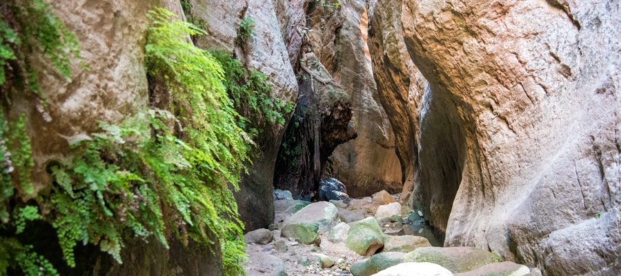
GPS coordinates of the starting point: Lat: 34.920499 Lon: 32.337698 Altitude of the starting point: 47m Altitude of the highest peak: 45m Altitude of the
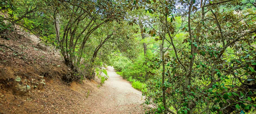
GPS coordinates of the starting point: Lat: 34.980599 Lon: 32.968808 GPS coordinates of the ending point: Lat: 34.990647 Lon: 32.950746 Altitude of the starting point:
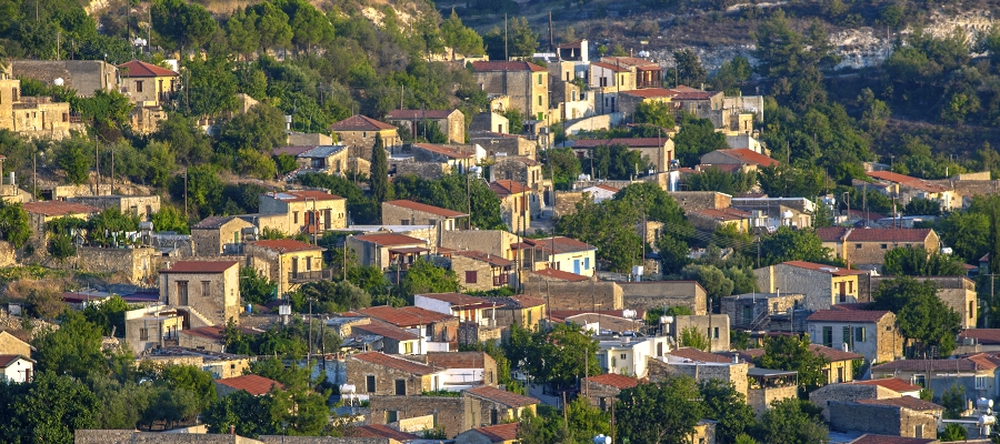
The Lemesos (Limassol) winemaking villages are renowned for their deep-rooted history of viticulture, as well as their excellent local wines and the stunning scenery of