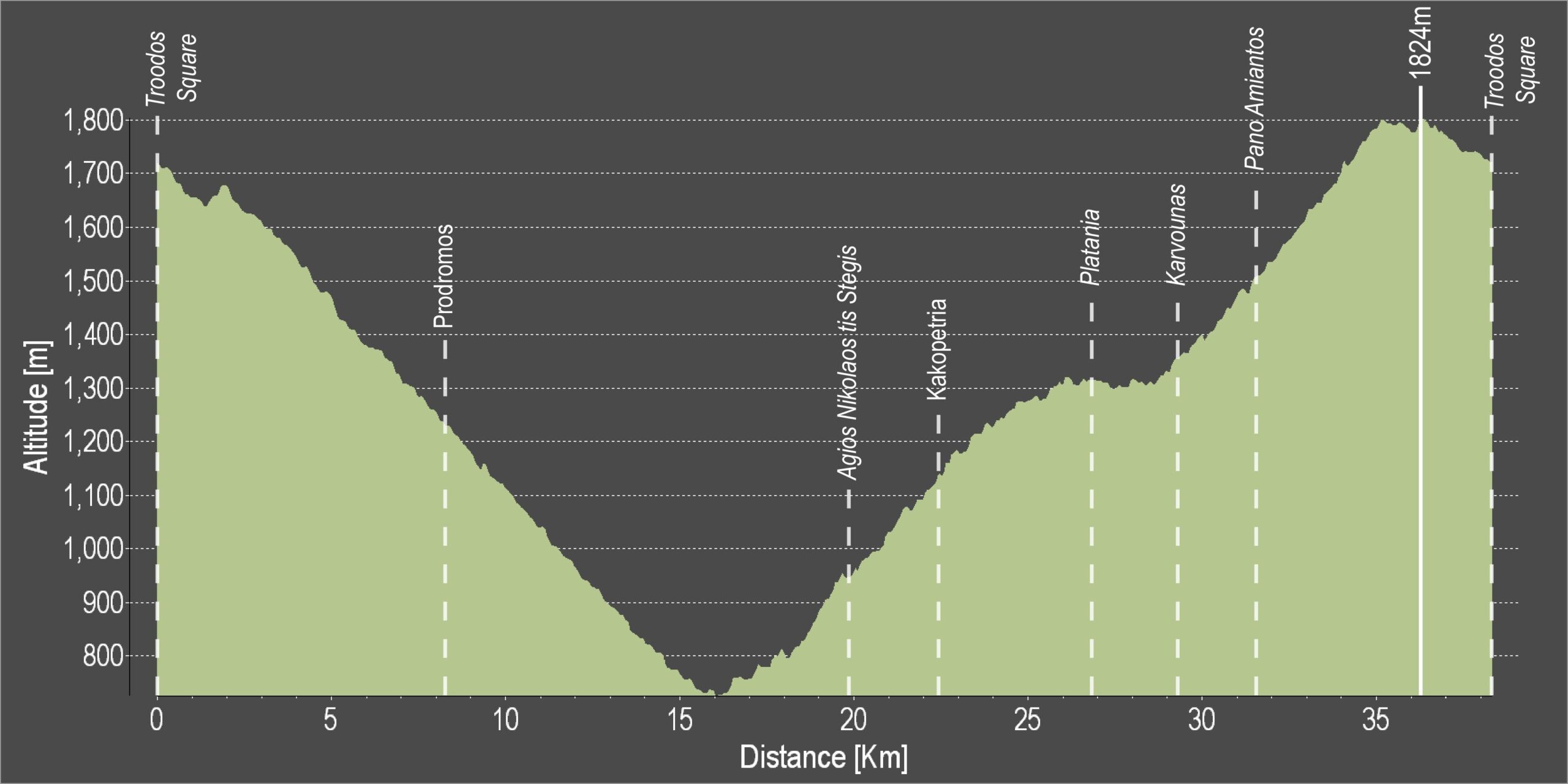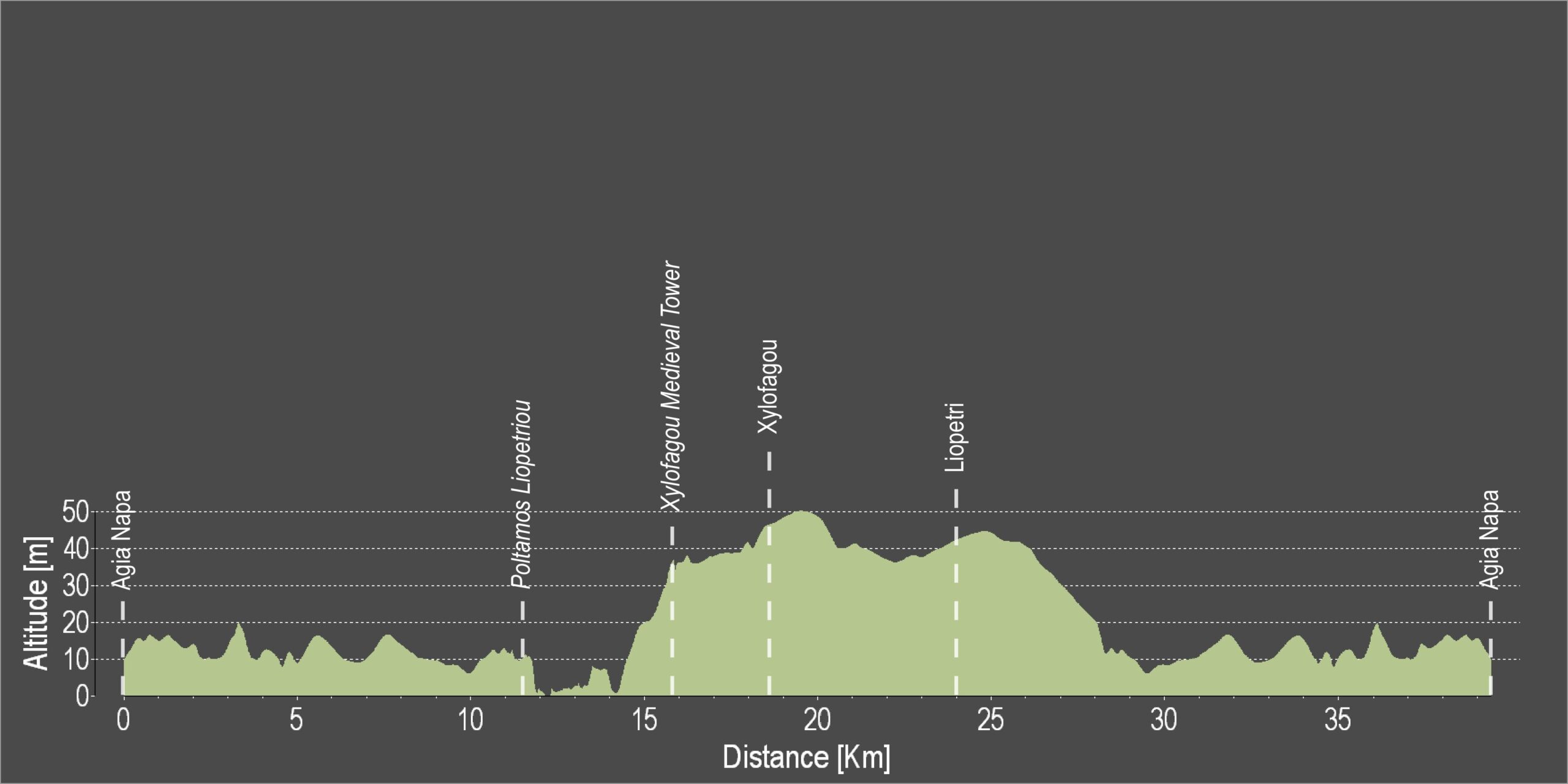
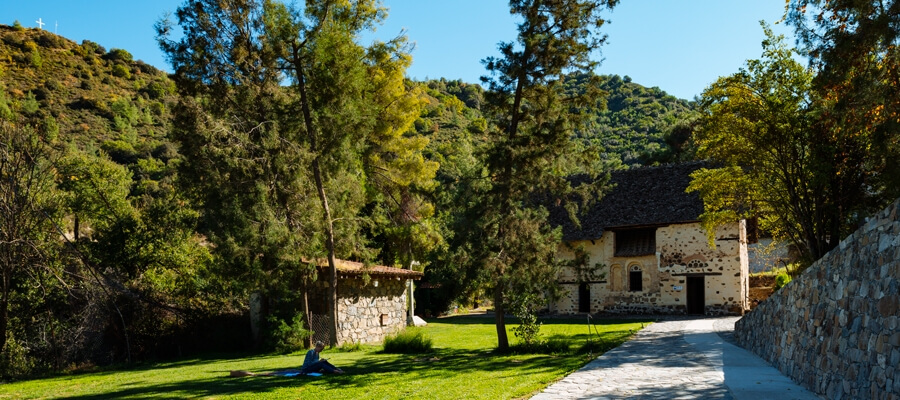
Η διαδρομή κατηφορίζει από την πλατεία Τροόδους προς το μοναστήρι του Αγίου Νικολάου της Στέγης και στη συνέχεια ανηφορίζει σταδιακά από το παλιό μεταλλείο χρωμίου, στον δρόμο Τροόδους–Καρβουνά, επιστρέφοντας στην πλατεία Τροόδους.
Μετά τη διασταύρωση του Προδρόμου, η διαδρομή ακολουθεί δασικό δρόμο προς τον Άγιο Νικόλαο. Από εκεί συνεχίζει στον ασφαλτοστρωμένο δρόμο από την Κακοπετριά προς τον Καρβουνά, στρίβει δεξιά και στη συνέχεια ανηφορίζει προς το Τρόοδος. Έπειτα από σχεδόν 9 χιλιόμετρα απότομης ανηφόρας, η διαδρομή περνά από το Κέντρο Επισκεπτών του Γεωπάρκου Τροόδους στον Αμίαντο. Στη συνέχεια φτάνει στον δρόμο Τροόδους–Προδρόμου και στρίβει αριστερά, επιστρέφοντας στην πλατεία Τροόδους.
Βαθμός δυσκολίας: Πολύ δύσκολη διαδρομή. Απαιτείται ποδήλατο δρόμου 20 ταχυτήτων σε καλή κατάσταση.
Κατάσταση οδοστρώματος: Ασφαλτοστρωμένη σε όλο το μήκος της.
Για να κατεβάσετε τη διαδρομή σε μορφή GPX, πατήστε εδώ.
| Distance: | 37.7km |
| Elevation Gain: | 1635m |
| Highest point: | 1824m |
| Lowest point: | 726m |
| Loop: | YES |
| Terrain: | Mountain |
| Road surface: | Paved |
| Section Distance (km) | Total Distance (km) | |
| Troodos Square | 0,0 | 0,0 |
| Prodromos | 8,2 | 8,2 |
| Ag. Nikolaos tis Stegis | 11,6 | 19,8 |
| Kakopetria | 2,6 | 22,4 |
| Platania | 4,5 | 26,9 |
| Karvounas | 2,3 | 29,2 |
| Pano Amiantos | 2,3 | 31,5 |
| Troodos Square | 6,2 | 37,7 |