| Coordonnées du point de départ: | Lat: 34.931739 Lon: 32.887044 |
| Coordonnées du point d’arrivée: | Lat: 34.977789 Lon: 32.885425 |
| Altitude du point de départ: | 1,654m |
| Altitude maximale: | 1,654m |
| Altitude minimale: | 872m |
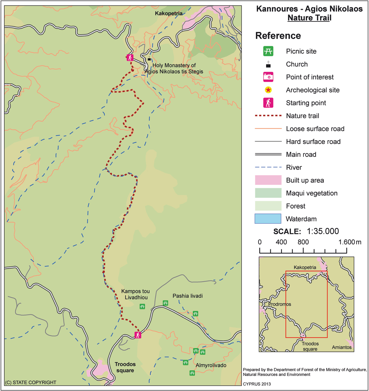
| Point de départ: | La route principale Karvounas – Troodos Square (place Troodos), 1 km avant Troodos, 9.5 km de Karvounas. Le sentier peut se terminer à l’église byzantine Agios Nikolaos tis Stegis (UNESCO) ou continuer jusqu’au village de Kakopetria. |
| Distance: | 9 km (12 km jusqu’à Kakopetria). |
| Durée approximative: | 3 heures (4 heures jusqu’à Kakopetria). |
| Niveau de difficulté: | 3 (Itinéraire avec des pentes abruptes). |
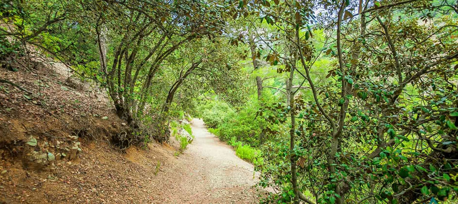
Centres d’intérêt: Le sentier débute à la source de la rivière Karkotis et en traverse la belle vallée, passant à côté de la mine de chrome et se termine à Kakopetria. Sur le chemin, vous pouvez visiter l’église byzantine Agios Nikolaos tis Stegis (12ème siècle) qui s’enorgueuillit de posséder de magnifiques fresques et est inscrite au Patrimoine Mondial de l’UNESCO. De l’église, si vous suivez la route de Pedoulas – Kakopetria sur environ 3 km, vous arriverez à Kakopetria. Le sentier est situé dans le Parc National Forestier du Troodos.
Flore: Ptilostemon (Ptilostemon chamaepeuce var. cyprius), chêne doré (Quercus alnifolia), arabis (Arabis purpurea), scabieuse pterocephala communément appelée‘Manouthkia’ *(Pterocephalus multiflorus subsp. multiflorus- petit arbuste à feuilles persistantes aux fleurs rose pale), thym (Thymus integer).
Faune:
MAMMIFERES: Renard, lièvre, hérisson.
OISEAUX: Aigle de Bonelli, geai des chênes, pigeon ramier, perdrix, fauvette de Chypre (endémique), traquet de Chypre (endémique)
REPTILES: Vipère de Chypre, lézard de Chypre, serpent noir, couleuvre de Montpellier