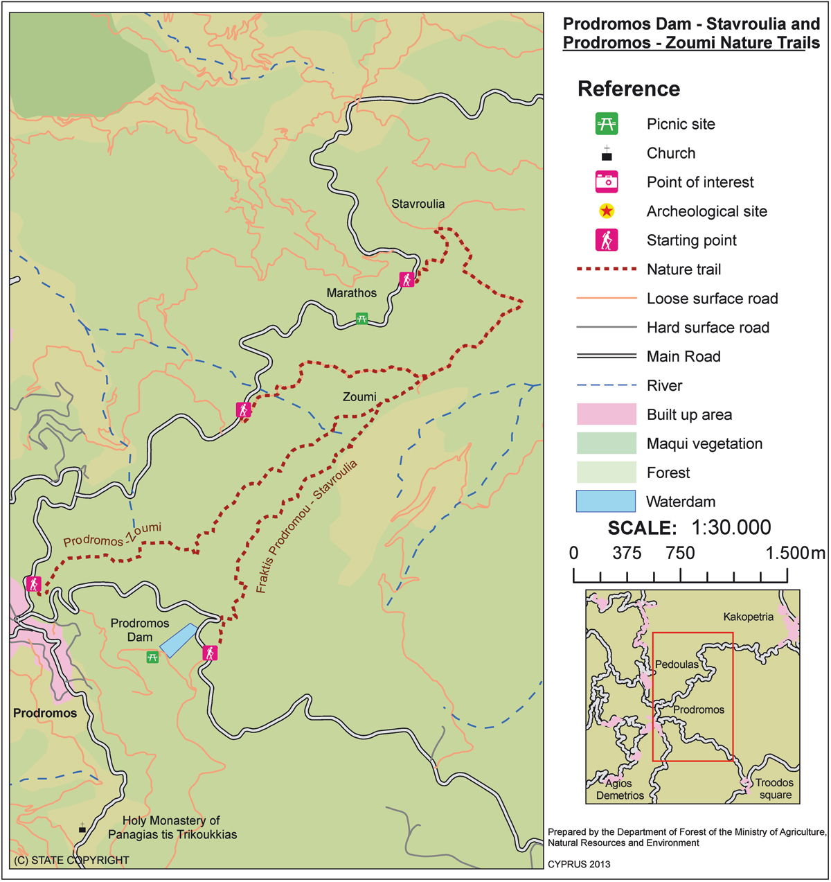
| GPS coordinates of the starting point: | Lat: 34.920443 Lon: 32.881202 |
| GPS coordinates of the ending point: | Lat: 34.908118 Lon: 32.903485 |
| Altitude of the starting point: | 1,733m |
| Altitude of the highest peak: | 1,733m |
| Altitude of the end peak: | 1,654m |
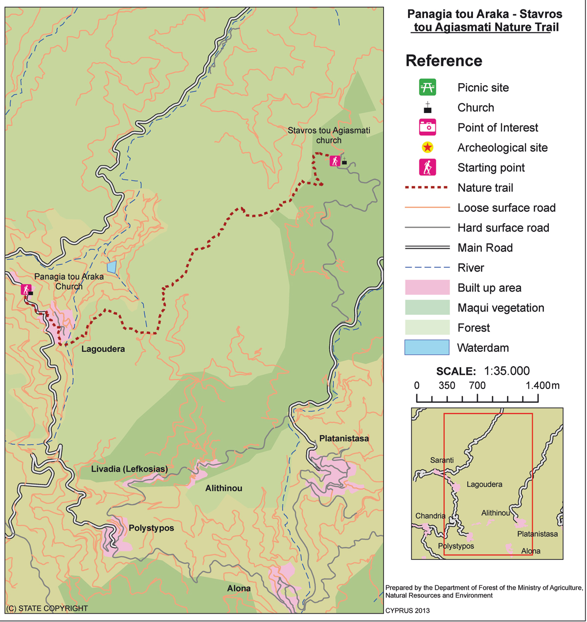
| Starting point: | 150m south of Troodos Square, in the direction of the police station. |
| Length: | 3km |
| Estimated duration: | 1 hour |
| Difficulty rate: | 1 |
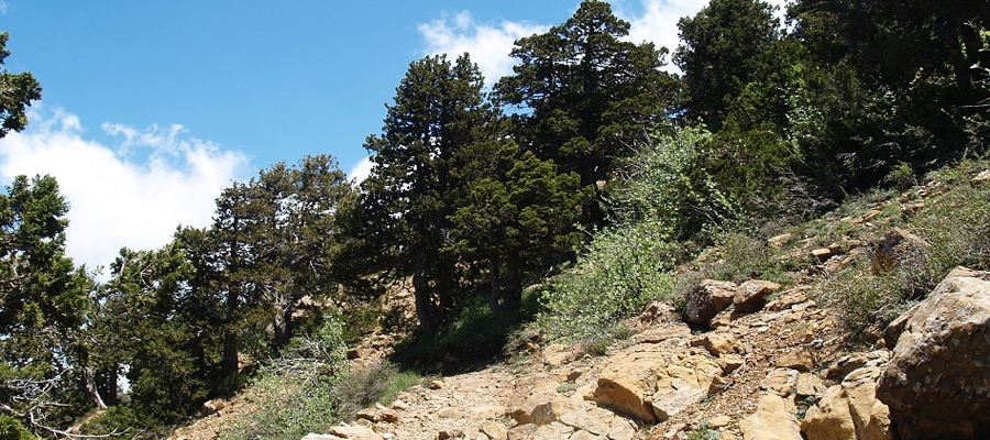
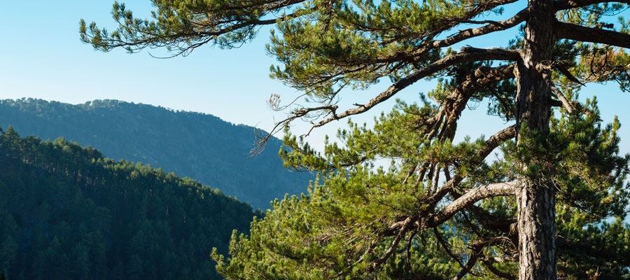
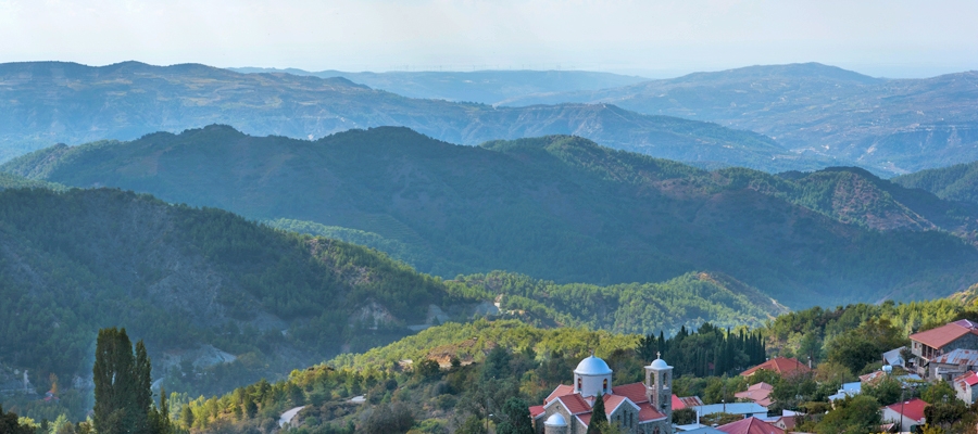
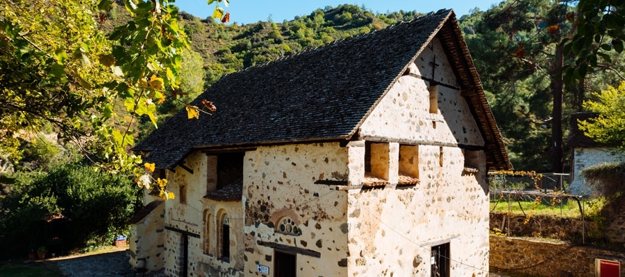
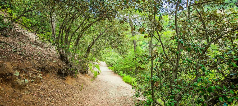
Points of interest: The trail is located within the Troodos National Forest Park, and for the first two kilometres of the route, you will pass through dense black pine forest. The ending point at Makria Kontarka offers stunning views. The Kampos tou Livadiou picnic area is located two kilometres from Troodos Square in the direction of Karvounas and at a distance of 2.5 kilometres, you will find the ‘Armyrolivado’ and ‘Livadi tou Pasia’ picnic sites. The Environmental Information Centre for the Troodos National Forest Park can be found in Troodos Square.
Flora: While hiking you can study the endemic plants: Golden oak (Quercus alnifolia), Cyprus Skullcap (Scutellaria cypria subsp. cypria), Troodos catmint (Nepeta troodi), Cyprus Germander (Teucrium cyprium subsp. cyprium), Manouthkia (Pterocephalus multiflorus subsp. multiflorus – an evergreen small shrub with pale pink flowers), Troodos sage (Salvia willeana).
Fauna: The main species of fauna found in the area are:
Mammals: Fox, hare, hedgehog.
Birds: Bonelli’s eagle, Eurasian jay, Wood pigeon, Partridge, Cyprus warbler (endemic), Cyprus wheatear (endemic).
Reptiles: Cyprus viper, Cyprus snake (endemic).