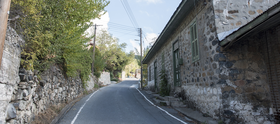
This route of 18,2km starts from the village of Prodromos, where to the north the abandoned Berengaria hotel complex lies, while lower down is the village of Lemithou, with views of the glittering bay of Morfou in the distance. Further west, the peaks of Throni and Tripylos overlook Kykkos and Stavros tis Psokas respectively. The villages of Palaiomylos and Agios Dimitrios, and the Diarizos Valley sprawl out below, whilst Pafos (Paphos) forest stretches to the west. The Prodromos dam can be seen to the east, along with a picnic site. To the south is the Trikoukkiotissa Convent.
| Start Point: | Prodromos village |
| End Point: | Psilo Dendro, Platres |
| Total Distance: | 18,2km |
| Height Gain: | 10m |
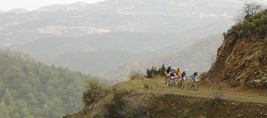
| Difficulty Rating: | An easy route. Accessibility by bicycle is good – very good, with the exception of the Trooditissa – Foini forest road, which requires attention due to small sharp fragments of rock on the surface. For this section of the road, the use of MTB cycles with front suspension is recommended. |
| Road Conditions: | Good quality tarmac and forest dirt track with some sharp stones on parts of the route. Caution is advised against damage to tyres. |