| GPS coordinates of the starting point: | Lat: 34.936231 Lon: 32.889129 |
| GPS coordinates of the ending point: | Lat: 34.936231 Lon: 32.889129 |
| Altitude of the starting point: | 1,680m |
| Altitude of the highest peak: | 1,700m |
| Altitude of the end peak: | 1,680m |
| Starting point: | The road that leads to Kampos tou Livadiou picnic site. |
| Length: | 3km |
| Estimated duration: | 1.5 hour |
| Difficulty rate: | 1 - 2 |
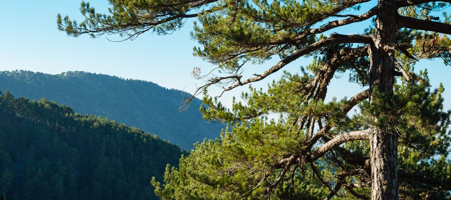
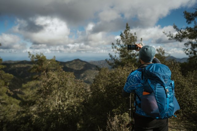
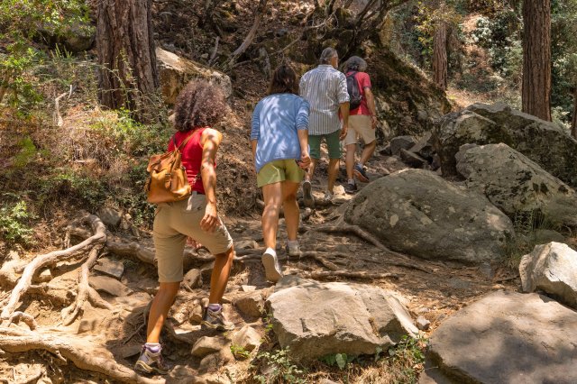
Points of interest: The first 1,000 metres of the trail are common with the Kampos tou Livadiou - Mnimata Piskopon Trail. With its positioning near the edge of a cliff, the trail offers views toward Chromium River, Solea Valley, Morfou Bay and the tip of Chionistra. It is particularly enjoyable as it passes through thickets of black pine and a significant number of century old black pines and junipers. There are also points of geological interest (dunite, harzburgite). The entire trail is located within the Troodos National Forest Park, which is a Natura 2000 area. The picnic site of ‘Kampos tou Livadiou’ has drinking water.
Flora: While hiking you can study the endemic plants: Cyprus skullcap (Scutellaria cypria subsp. cypria), Troodos Alyson (Alyssum troodi), golden oak (Quercus alnifolia), Troodos sage (Salvia willeana) and the indigenous barberry (Berberis cretica) and white beam (Sorbus aria ssp.cretica).

