| GPS coordinates of the starting point: | Lat: 34.915396 Lon: 32.931950 |
| GPS coordinates of the ending point: | Lat: 34.920130 Lon: 32.931465 |
| Altitude of the starting point: | 1,106m |
| Altitude of the highest peak: | 1,106m |
| Altitude of the end peak: | 1,012m |
| Starting point: | The main road between Kato Amiantos village and SEK. |
| Length: | 2.5km |
| Estimated duration: | 1 hour |
| Difficulty rate: | 2 |
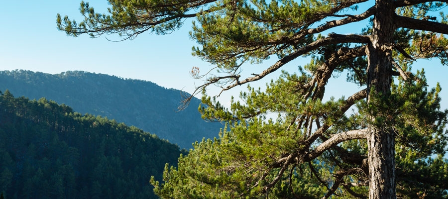
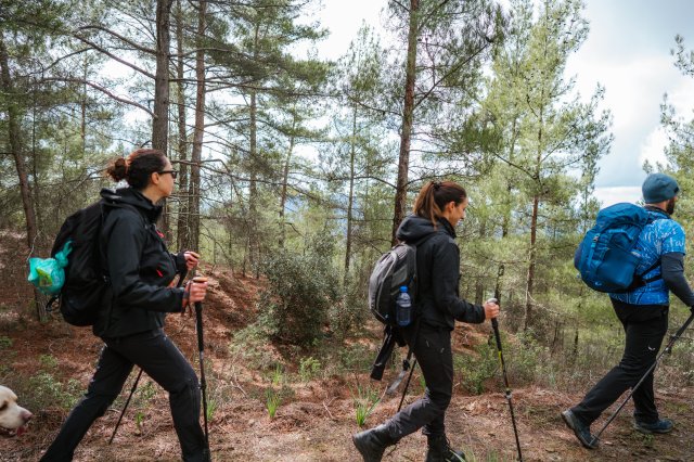
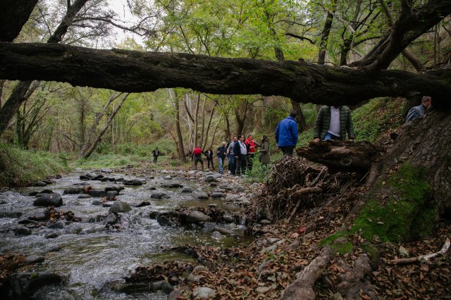
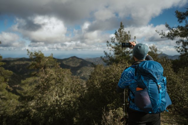
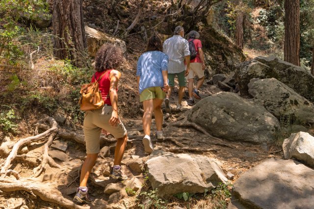
Points of interest: The trail runs through a beautiful hillside and along the riverbank with lush vegetation, ending at Amiantos Park. It also passes the restored hideout of the EOKA fighters and the stream Loumata ton Aeton. From linear, the trail becomes circular by following the roads through the village towards the summer camping site of S.E.K Trade Union Confederation. The trail is located within the Troodos National Forest Park.
Flora: While hiking you can study the indigenous plants: terebinth (Pistacia terebinthus), storax (Styrax officinalis), strawberry tree (Arbutus adrachnae), laurel (Laurus nobilis), myrtle (Myrtus communis), barberry (Berberis cretica), oleander (Nerium oleander), honeysuckle (Lonicera etrusca), the common smilax (Smilax aspera), sage (Salvia fruticosa) and the endemic golden oak (Quercus alnifolia).
Fauna: The main species of fauna found in the area are:
Mammals: Fox, hare, hedgehog.
Birds: Bonelli’s eagle, Eurasian jay, Wood pigeon, partridge, Cyprus warbler (endemic), Cyprus wheatear (endemic).
Reptiles: Cyprus viper, Cyprus lizard, Black whip snake, Montpellier snake.

