Rizoelia Forest Cycling Route

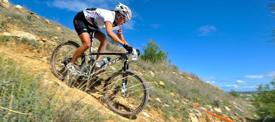
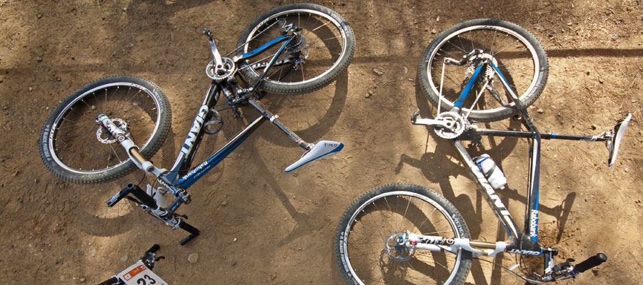
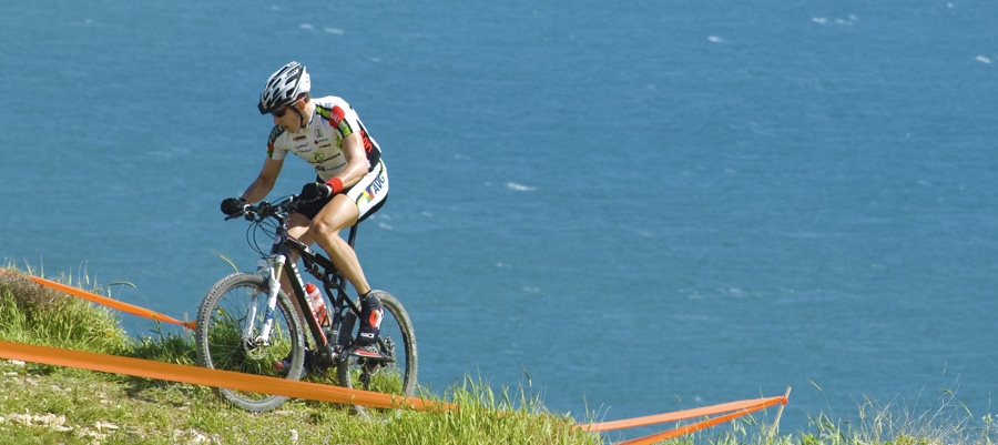
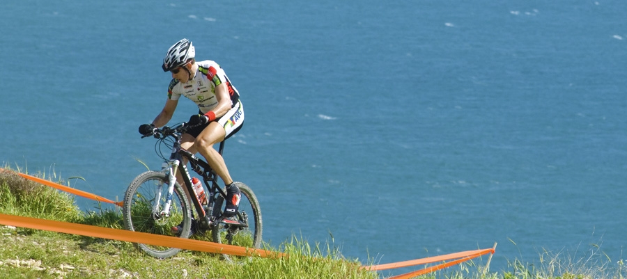
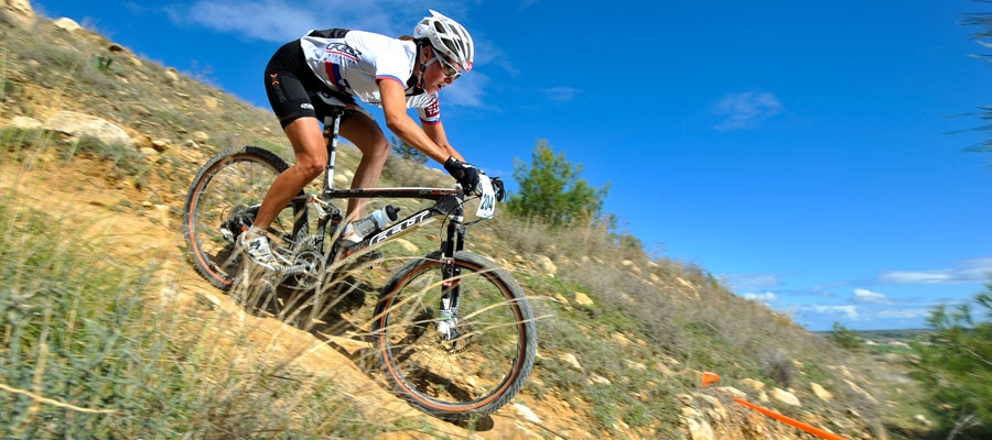
The small forest of Rizoelia is situated next to the roundabout on the outskirts of Larnaka (Larnaca), west of Aradippou village. There are plenty of dirt roads for mountain biking fans, as well as for those who love riding through beautiful forest, or want to enjoy the view from the top of the hill.

Start Point: Rizoelia Forest
End Point: Rizoelia Forest
Total Distance: 65km
Height Gain: 20m
Difficulty Rating: An easy – average route on unpaved roads. Requires a mountain bike with 21 speeds. Front fork suspension is recommended.
Road Conditions: Unpaved territory.
 

Mazotos – Kofinou Cycling Route

This 80km route travels along the western coastal district of Larnaka (Larnaca), climbing towards the hillside villages of the region, and past the archaeological site of Choirokoitia to end at Kofinou village.

The route begins at the Mazotos fuel station on the outskirts of the village, and continues on the road towards the villages of Agios Theodoros and Zygi to the southwest, travelling along the coast as far as Zygi. From there, the road climbs north towards Psematismenos, crossing the Lefkosia (Nicosia) – Lemesos (Limassol) motorway over the footbridge, and reaches the archaeological site of Choirokoitia.The route continues in a north­westerly direction, going through the village of Choirokoitia and ­ climbing steadily ­ through the villages of Vavla, Lagia and Ora. From Ora it turns right and after 10km, heading first north and then northwest, it reaches Vavatsinia. Vavatsinia is a good spot for a rest and a snack before heading back down to Kofinou via the villages of Pano Lefkara and Skarinou. Kofinou is a 5km ride to the north of Skarinou on the old Lefkosia – Lemesos road.

As an alternative route that is 22km shorter: From Vavla, the route turns right, climbing up to the village of Kato Drys (6km). It reaches the Skarinou – Vavatsinia road 3km later, just below Pano Lefkara.

Start Point: Mazotos fuel station
End Point: Kofinou
Total Distance: 80km
Height Gain: 965m
Difficulty Rating: A difficult route with long (but not very steep) uphills. Requires a 16­-speed street bicycle.
Road Conditions: Paved road throughout.
 

Machairas – Pitsylia Cycling Route

This 25km route ascends into Machairas Forest and on to the Pitsylia area. From Machairas Monastery, the route heads west, passing through the small villages of Lazanias and Gouri, where it turns south to Farmakas. From Farmakas it heads southwest, descending towards the main Lefkosia (Nicosia) – Palaichori road, with Palaichori Dam to the left. From there, the road turns left to go through Apliki, climbing steadily for 5km until it reaches Palaichori itself.

Start Point: Machairas Monastery
End Point: Palaichori
Total Distance: 25km
Height Gain: 240m
Difficulty Rating: A route of medium difficulty due to several steep uphills. Requires a street bicycle with at least 14 speeds or a mountain bike with 21 speeds.
Road Conditions: Paved road mostly throughout.
 

Larnaka (Larnaca) Tourist Beach – Meneou Cycling Route

This 18km route tours the region of Larnaka (Larnaca). Beginning at Larnaka Tourist Beach, it heads south to the Larnaka Port roundabout along the bicycle path on the left­hand side of the road. It then continues straight along Athinon Avenue (Foinikoudes Promenade), past Larnaka Medieval Castle and Mackenzie Beach, before turning west to join the Larnaka Airport road, turning left at the traffic lights. The route then goes past the airport roundabout, turning right to Hala Sultan Tekke Mosque shortly after a restaurant and a picnic site in the nearby wood. Continuing straight, the route leads to Meneou village.

As an alternative route to make the trip slightly longer: Take the road from Meneou to the coast, heading southeast to join the main coastal road that goes past Kiti Medieval Tower. Then turn right, heading northwest through the villages of Pervolia and Kiti and back to Meneou.

Start Point: Larnaka Tourist Beach
End Point: Meneou
Total Distance: 18km
Difficulty Rating: An easy route, ideal for all types of bicycle.
Road Conditions: Good quality, paved road throughout.
 

Larnaka (Larnaca) – Nisou Cycling Route

This 61km route from Larnaka (Larnaca) to Nisou­ through the hills of the Kakoradjia region ­ is a difficult ride and links up nicely with a number of alternative routes.

Starting at the Larnaka Port roundabout, it travels along Stratigos Timagia Avenue, crosses the traffic lights at the Fire Department, and continues straight to the next traffic lights, where it turns left to reach the traffic lights by Phaneromeni Church on the Larnaka Airport – Meneou road. From there it turns right and goes south, past the airport roundabout and southwest to Meneou village. Just before Kiti village, it turns right towards Mazotos village, which is about 10km further down, after the fuel station. The fuel station also happens to be the starting point for the Mazotos-Vavatsinia-Kofinou route. From Mazotos, the route continues west towards Alaminos village and reaches Kofinou village, where it meets the old Lefkosia (Nicosia) – ­ Lemesos (Limassol)  road. It then turns right and to the north towards Lefkosia. From this point on, it becomes more difficult, owing to a 6km long / 220m high vertical climb. After that, it is downhill all the way through the villages of Pyrga, Mosfiloti, Alampra and Nisou.

Start Point: Larnaka Port roundabout
End Point: Nisou
Total Distance: 61km
Height Gain: 505m
Difficulty Rating: A medium – difficult route. There are a number of steep uphills requiring a street bicycle with at least 14 speeds.
Road Conditions: Paved road throughout.


Kofinou – Pafos (Paphos) Cycling Route

This 110km route is designed for strong cyclists, and passes along the old Lefkosia (Nicosia) – Lemesos (Limassol) – Pafos (Paphos) road in its entirety.

The route starts at Kofinou village, heading first south and then southwest, to reach Lemesos after passing through the villages of Choirokoitia, Moni, Amathous and Potamos tis Germasogeias before arriving in Lemesos. From Lemesos, it goes west towards Zakaki, Fasouri and Kourion, all the way to Petra tou Romiou. Thereafter, it goes northwest ending up near the Pafos Stadium.

Start Point: Kofinou
End Point: Pafos Stadium
Total Distance: 110km
Height Gain: 510m
Difficulty Rating: A route of medium difficulty, without any particularly steep uphills, although some of the short distances could be considered to be. Requires a good quality street bike with at least 14 speeds.
Road Conditions: Good quality, paved road throughout.
 

Kofinou – Larnaka (Larnaca) Cycling Route

This 25km route links the village of Kofinou to Larnaka (Larnaca), and vice versa.

Starting from the village of Kofinou – which is often the start or end of a number of routes – it heads northeast. It travels along the outskirts of the villages of Menogia and Anglisides, passes through the village of Alethriko, reaches the grade­separated junction at Kalo Chorio, and ends at the Fire Department traffic lights in Larnaka town.

Start Point: Kofinou
End Point: Fire Department traffic lights
Total Distance: 25km
Height Gain: 5m
Difficulty Rating: An easy route. Ideal for all types of bicycles with speeds.
Road Conditions: Good quality, paved road throughout.
 

Tour of Deryneia Cycling Route

This 85km route is lengthy ­ but not difficult ­ and passes through some of the most popular beaches of Cyprus as it travels along the coast before returning to Larnaka (Larnaca) via the ‘red soil’ villages (Kokkinochoria) of the Ammochostos (Famagusta) area.

The route begins at Larnaka Tourist Beach and heads east along the coastal road. It turns right at the roundabout just outside the British Sovereign Base Area of Dekeleia, and enters the base. It turns right again at the next roundabout, passes the Dekeleia Power Station and travels along the outskirts of the village of Ormideia. It then turns right again, climbing a little as it passes outside the village of Xylofagou. Heading towards Agia Napa, the route goes past the fishing shelter of Potamos Liopetriou and then Makronissos before travelling along the main Agia Napa ­ Paralimni road.

Thereafter, it turns right on to the road for Cape Gkreko, along a bicycle path on the right­hand side of the road (the side nearest the sea).The turning to Cape Gkreko is 4km down the road to the right. Turning north from Cape Gkreko, the route goes past the Agios Anargyros picnic site and the Konnos area until it reaches Protaras. From Protaras, the route continues to the village of Agia Triada where it turns left towards Paralimni. It then cuts across Paralimni and reaches the road leading to Deryneia after turning right and heading north. From Deryneia the route heads back to Larnaka via the potato­growing villages of Frenaros and Liopetri. After Xylofagou, it follows the same route back.

Start Point: Larnaka Tourist Beach
End Point: Larnaka Tourist Beach
Total Distance: 85km
Height Gain: 260m
Difficulty Rating: An easy route. Requires a street bicycle with speeds.
Road Conditions: Good quality, paved road throughout.
 

Agia Napa – Pyrgos Xylofagou Cycling Route

This 32km route takes the cyclist on a loop from Agia Napa to Xylofagou village, returning along the Xylofagou – Agia Napa road. The route begins at the little harbour of Agia Napa, climbing towards the north, until it reaches the traffic lights where it turns left and to the west, along the bicycle path on the left­hand side of the road. It then continues past Makronissos on the dirt road that leads to the chapel at Agia Thekla and the fishing shelter by Potamos Liopetriou. Heading south, it rounds Cape Pylato the Xylofagou Medieval Tower. From there it takes a northern course to reach the outskirts of Xylofagou, then turns right and to the east on to the Xylofagou – Agia Napa road back to Agia Napa.

Start Point: Agia Napa
End Point: Agia Napa
Total Distance: 32km
Difficulty Rating: An easy route. Requires a 21­-speed mountain bike.
Road Conditions: A variety of surfaces.


Lythrodontas Circular Cycling Route

This 45km route offers some of the most beautiful views that the Machairas Mountains have to offer towards Larnaka (Larnaca) Bay and the Mesaoria plains, with Lefkosia (Nicosia) at the centre, and the Pentadaktylos Mountains in the distance.

The route starts from the central square of the village of Lythrodontas and heads left towards Kyprovasa just outside the village on the road to Machairas, passing through olive groves typical of the area. From Kyprovasa, the course turns to the west towards Profitis Ilias. At the junction ­ with the road leading to Profitis Ilias ­ the route continues to the left, heading south towards Vavatsinia. It is worth stopping here to quench your thirst at the Petris water fountain. After a steady 6km climb, the route reaches the paved Lefkara – Vavatsinia road.

The village of Vavatsinia itself is situated a short distance away to the right. Once inside the village, and after turning right for Machairas, the steep paved road becomes a dirt road. It goes past the Moutti of Pelekanou peak and continues on a relatively flat bit of road until it reaches the Kionia picnic site. After Kionia, the road is downhill for about 10km and leads to the chapel of Agios Onoufrios. From there, the road heads back to Lythrodontas via the picnic site of Mantra tou Kampiou ­ at first paved, but then becoming a dirt track.

Start Point: Lythrodontas
End Point: Lythrodontas
Total Distance: 45km
Height Gain: 890m
Difficulty Rating: A very difficult course with steep uphills and sudden, lengthy descents. Requires a mountain bike with 24 speeds and a front fork suspension.
Road Conditions: A variety of surfaces, with a major part of the route on rough, dirt tracks.