Da Costa

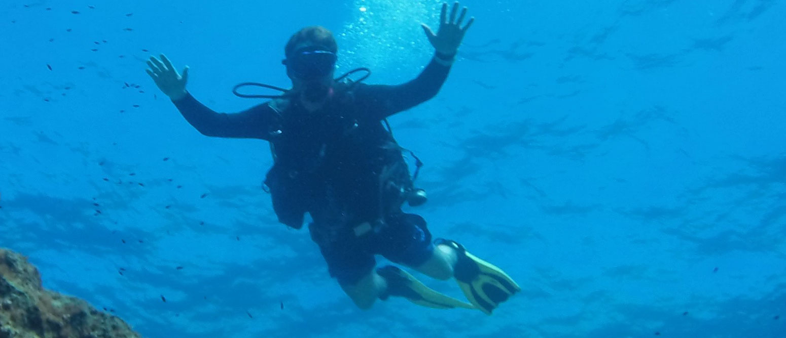
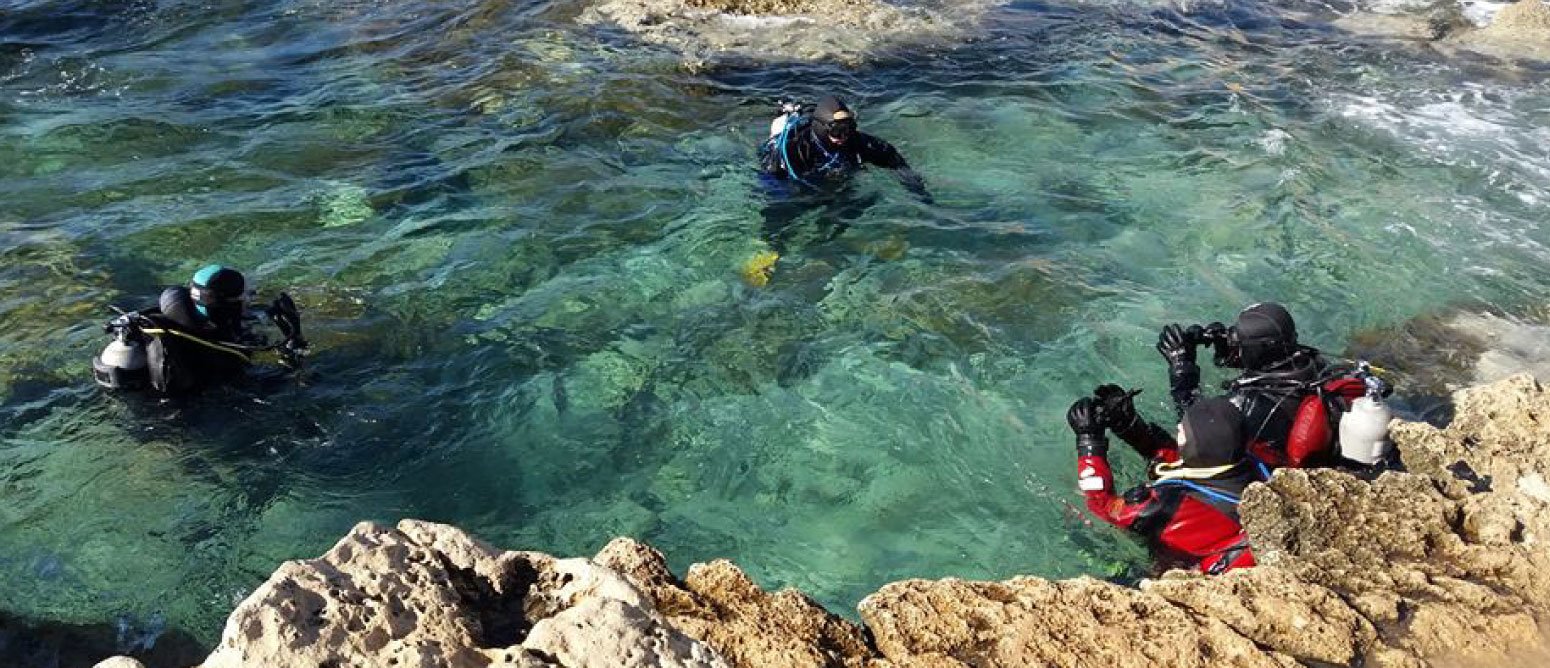
This lovely, tranquil dive is situated in a protected area and is perfect for introductory dives, easing beginners in with a walk-in entry; a mostly flat and sandy surface; a lack of waves, and small, unassuming marine creatures.

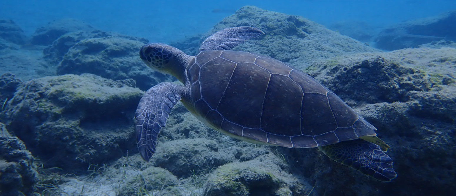
Turtles are frequently sighted – at just 2-4 metres into the dive. Diving a little deeper, the series of submerged statues – including a mermaid, a lion and a dwarf – are also handy tools for beginners to practise their buoyancy.

The sandy bottom of Posidonia seagrass offers the perfect environment for cuttlefish to lay their eggs whilst the parents swim protectively around their future offspring. Barracuda and seahorses can also be spotted.


Location: Protaras, Ammochostos
GPS Coordinates:35° 0’24.58″N 34° 3’44.63″E
Type of Site:Shore Dive
Depth:11 metres
Visibility:15+ metres
Access:Shore (walk-in)
Qualification Required: Open Water
Dive Category:Recreational Diving


For the Da Costa diving route click here

Green Bay Cave

Green Bay Cave is a series of majestic through and through caves and caverns located close to the Green Bay diving site.

This easy dive is known for its spectacular marine life and is home to a large variety of fish, corals and colourful sea flora. Cave dwellers include lionfish, moray eels and turtles, amidst more commonly sighted species such as barracuda, bream, damselfish, rainbow wrasses and zebra breams.

The site is also great for scooter diving.

Location:Cape Gkreko – Protaras, Ammochostos
GPS Coordinates:34° 59’57.28″N 34° 4’11.37″E 
Type of Dive Site:Rocky bottom, small caverns (through and through), also suitable for scooter diving
Depth:17 metres
Visibility:20+ metres
Access:Shore
Qualification Required: Open Water
Dive Category: Recreational Diving

Liberty Shipwreck

The Liberty wreck was sunk in the Protaras Marine Protected Area (MPA) in 2009 to create an artificial reef, later joined by the Nemesis III wreck that was sunk in 2013.

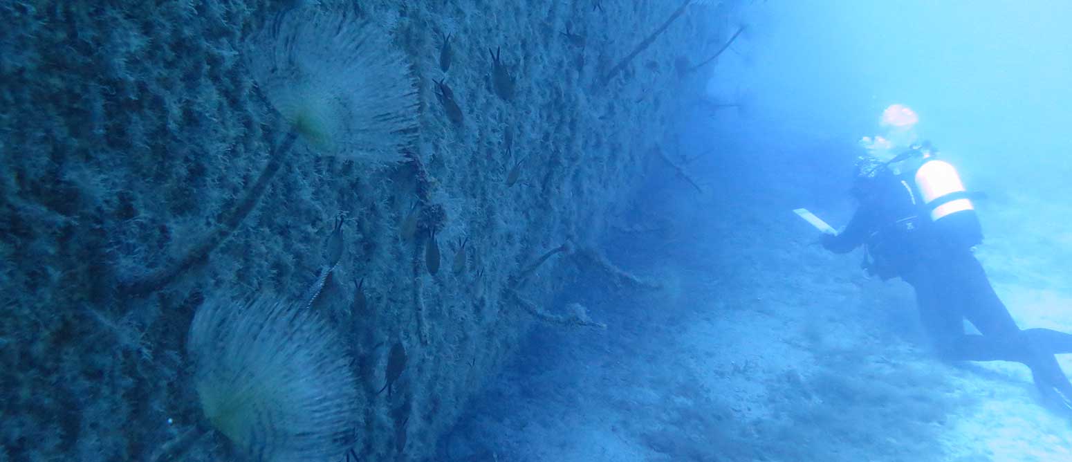
The wreck – formerly a Russian cargo ship – sits upright, just 90 metres from the Nemesis III, which makes it ideal for scooter diving. This is made all-the-more interesting thanks to a two-metre cross that was submerged there by famous Russian explorer Feodor Konyukhov and added to with a statue of the Mother of God later by a Russian dive school.

The site is safe and ideal for basic wreck diving and rewards the diver with abundant marine life, including bright anemone on the deck. A torch is recommended to fully appreciate the dazzling colours. Other marine life includes bream, groupers, lionfish, moray eels, sea slugs, squid and tube worms.


Location: Protaras, Ammochostos
GPS Coordinates: 35° 2’59.47″N 34° 2’11.76″E
Type of Dive Site: Wreck (also suitable for scooter diving)
Depth: 27 metres
Visibility: 20+ metres
Dimensions: 37 metres long / 10 metres wide
Access: By boat
Qualification Required: Advanced Open Water / Boat Diver
Dive Category: Recreational Diving


For the Liberty diving route click here

Cyclops

Considered to be one of the most beautiful dive sites of the Cape Gkreko area, this site takes its name from the cave above that legend tells was the hideout of the mythical one-eyed Cyclops. Rather, it is a magnificent, half-submerged grotto with a stunning topography of huge boulders, rocks, seagrass and sand – including a sandy, uphill path between meadows of Posidonia seagrass.

The versatility of the site makes it popular as it offers each diving level a different experience. It is ideal as a practise site for mapping, night diving, navigation and deep dives, as well as snorkelling. As such, both beginners and technical divers will enjoy exploring the interesting underwater landscape and the cliff’s marine life, including bream, grouper, lionfish, moray eels, nudibranch, sea urchins and starfish, among other species.


Location: Konnos Bay – Protaras, Ammochostos
GPS Coordinates: 34° 59’10.24″N 34° 4’35.99″E
Type of Dive Site: Rocky, Sandy, Drop-off (cliff)
Depth: 45 metres
Visibility: 20+ metres
Access: Shore (difficult) / By boat
Qualification Required: Open Water
Dive Category:Recreational and Technical Diving


To view the Jetski click here

Kampos Forest Heritage Museum

The museum lies just a few kilometers away from Kykkos Monastery and overlooks from one side, the Morphou Bay and from the other, Mount Olympus.
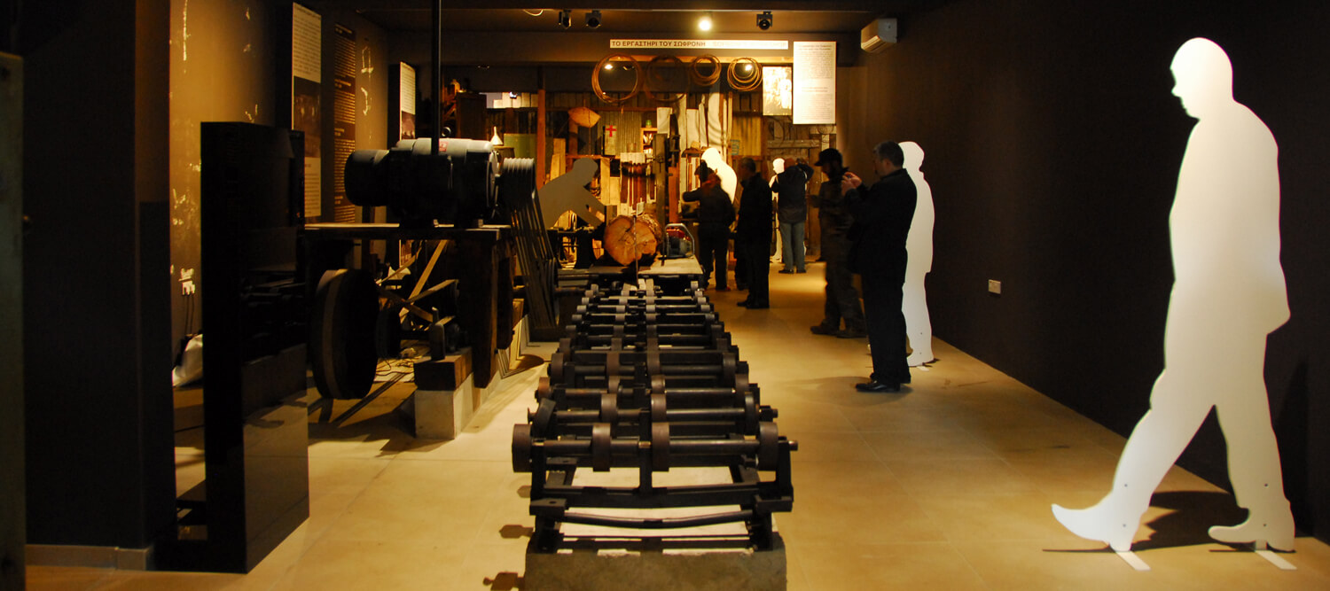
The museum is divided in two sections and the visitor can be guided using interactive media and attractive photo displays. On the ground floor, the display walks through the history of the Cypriot forest from the Bronze Age through to the British Colonial era.
In the basement of the museum, the more recent history of wood processing and logging is displayed through traditional tools and machinery as well as digital media.

In the museum botanical garden there are various specimens of local and endemic species.

Region: Lefkosia
Address: Community Council of Kampos, 2, Chr. Kalaitzi, 2863 Nicosia
Contact No: Tel: 22942450
Operating Hours: Opening Hours: Please contact Mob. + 357 99645400
Operating Period: All year round
Closed on Public Holidays
Entrance Fee: €3,00,  €2,00 reduced,  Family €10
Disabled Access: Entrance ramp in the property.
Opening and closing times are subject to alterations without notice. Visitors are advised to check before visiting.

Πриродный маршрут Кавос (круговой) – район Аммохостос (Фамагуста), Национальный Лесной Парк Мыса Греко

GPS-координаты начальной точки: Lat: 34.963785 Lon: 34.067116
GPS-координаты конечной точки: Lat: 34.963785 Lon: 34.067116
Высота стартовой точки: 64 м
Высота самого высокого пика: 70 м
Высота конечного пика: 64 м
Начальная точка: Старый карьер.
Протяженность: 1.2 км
Предполагаемая продолжительность: 45 минут
Уровень сложности: 1


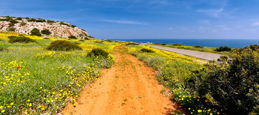
Достопримечательности: Тропа находится на мысе Гкреко в пределах Национального Лесного Парка, который является территорией Натура 2000. Тропа сначала проходит по сосновому ландшафту, а затем через низкую кустарниковую растительность. На протяжении пути есть много точек с исключительными видами, наиболее впечатляющий из которых находится на вершине холма, откуда вы можете наслаждаться живописным видом на природу во все стороны горизонта: на востоке можно увидеть часть мыса (Педалио), где расположен маяк и сооружения французской радиостанции (СОМЕРА); на западе находится туристический курорт Айя Напа; на севере располагается основная часть Национального Лесного Парка, на юге простираются чистые воды и изрезанная береговая линия. Впечатляющие скалы на южной стороне холма идеально подходят для скалолазания энтузиастов. Тропа Кавос соединяется с маршрутом Морских Пещер – Агии Анаргири.

Флора: Находясь на пешей прогулке, вы можете изучить местные растения: финикийский можжевельник (Juniperus phoenicea), мастиковое дерево (мастиковое дерево), тимьян (Thymus capitatus), колючая кровохлебка (Sarcopoterium Spinosum) и эндемичная кипрская босея (Bosea Cypria).

Πриродный маршрут Троодитисса – Фини (прямой) – район Лемесос (Лимассол), Лес Троодос

GPS-координаты начальной точки: Lat: 34.912177 Lon: 32.837174
GPS-координаты конечной точки: Lat: 34.896838 Lon: 32.837357
Высота стартовой точки: 1,330 м
Высота самого высокого пика: 1,330 м
Высота конечного пика: 944 м
Начальная точка: Центральная дорога на Платрес – Продромос.
Протяженность: 4.5 км
Предполагаемая продолжительность: 2 часа
Уровень сложности: 1


Достопримечательности: Маршрут следует по лесной дороге, которая соединяет монастырь Троодитисса с красивой деревней Фини, с исключительным видом на деревню по пути. Тропа пересекает реку Троодитисса и ведет вас к главной достопримечательности на маршруте – водопаду Хантара (восемь метров высотой), а затем проходит через вертикальные скалы, после чего заканчивается на дороге Фини – Агиос Димитриос, прямо за деревней Фини. Весь маршрут находится в Национальном Лесном Парке Троодос, который является территорией Натура 2000.

Флора:  Находясь на пешей прогулке, вы можете изучить(в числе прочих) местные растения: сосна калабрийская (Pinus brutia), земляничное дерево (Arbutus adrachnae),и эндемичный золотой дуб (Quercus alnifolia).