Linking the Troodos area with the Kykkos Mountains, this 55km route also allows further trips to the northwest coast of the island, along the route from Stavros to Pyrgos or to Polis.
The route begins in Troodos Square and climbs to the west for about 2,5km when it reaches a turning to the left leading to Mount Olympos. From here, it travels downhill to the village of Prodromos. It then turns right to the Pinewood area and travels above the village of Pedoulas to Kykkos Monastery. At this point there is an opportunity to stop at the Kykkos restaurant before going on to Kampos. A turning to the left before Kampos leads to Stavros tis Psokas to the west and 3,5km further down, another turning to the left leads to the Cedar Valley. The route continues straight on for another 16km until another turning to the left, leading to Stavros tis Psokas forestry station 3km along the way. Here, there is a restaurant, a hostel, a picnic site and a camping site, as well as a fenced off area where moufflon (indigenous mountain goats) are kept.
| Start Point: | Troodos Square |
| End Point: | Stavros tis Psokas |
| Total Distance: | 55km |
| Height Gain: | 25m |
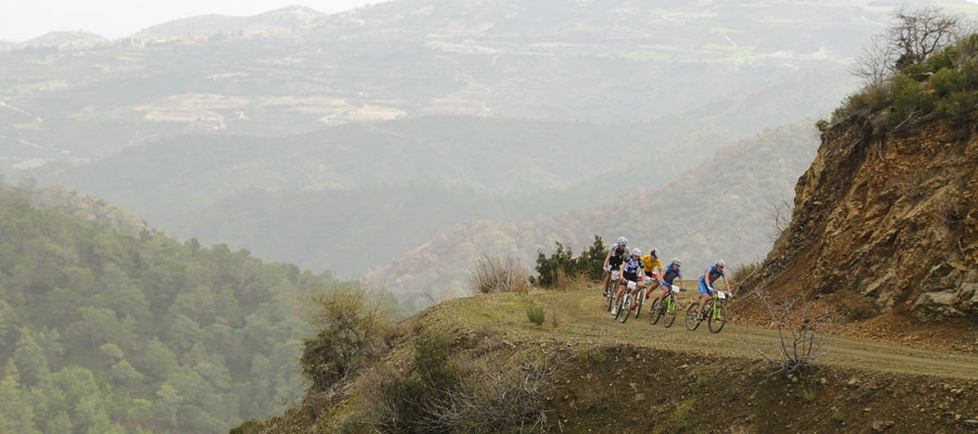
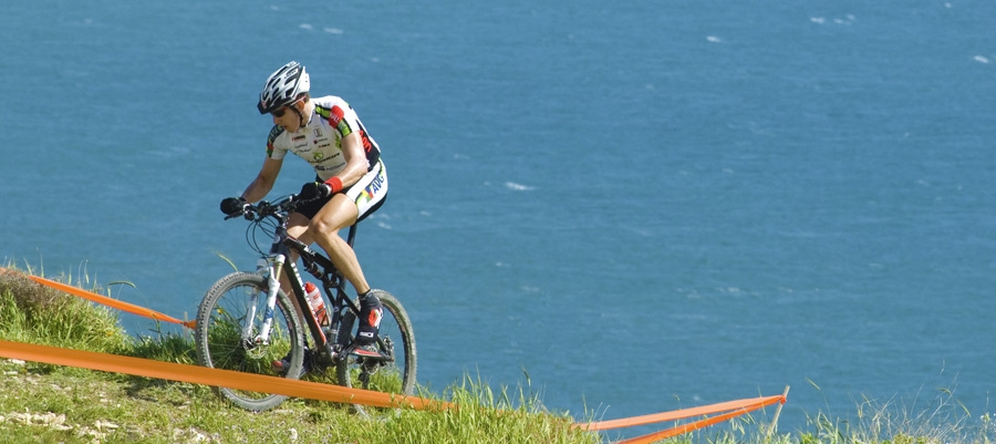
| Difficulty Rating: | An easy route with a few uphills and plenty of downhills. Requires a street bike with speeds. |
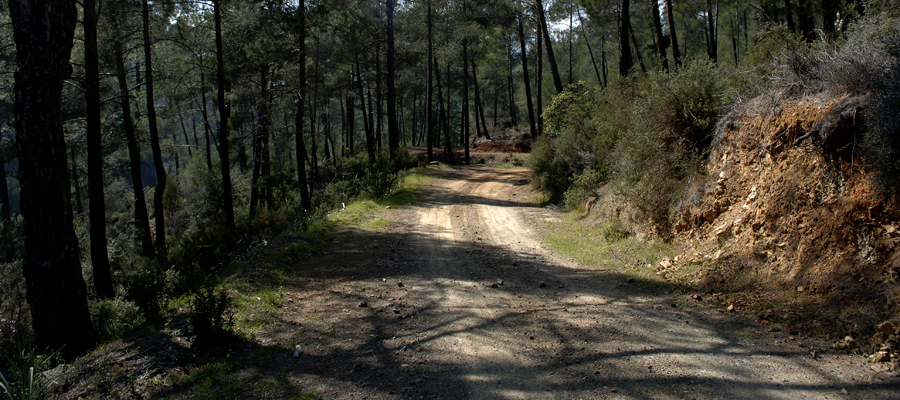
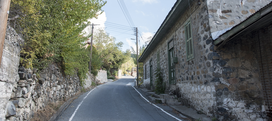
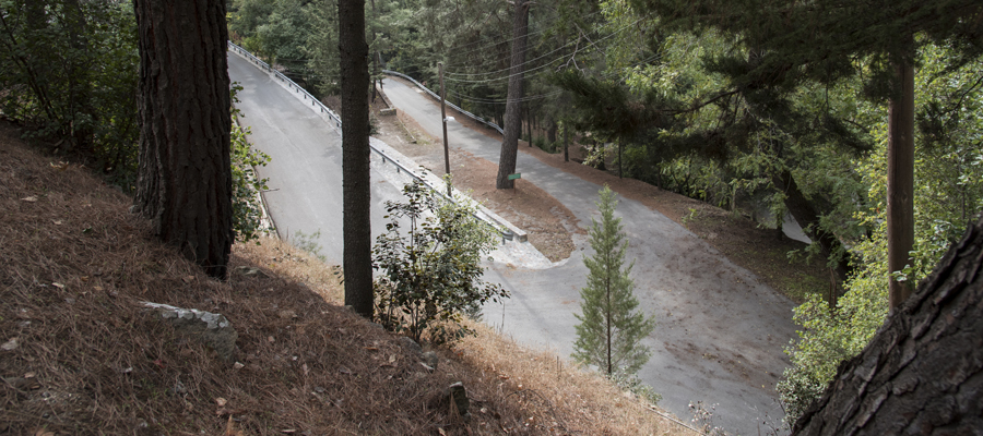
| Road Conditions: | Paved roads throughout |