The greatest advantage of cycling in the Polis area is its proximity to the Akamas Peninsula.
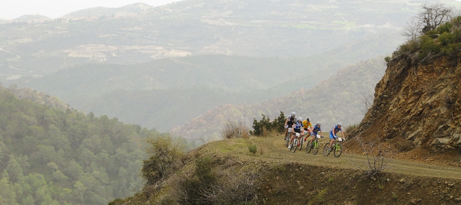
This 22km route begins in Polis and heads west towards Lakki (Latsi), the small harbour / marina of Polis and the Baths of Aphrodite. Shortly after Lakki (Latsi) and just before the Baths it turns south climbing towards Neo Chorio. The route travels through the village and then heads west with the road becoming a dirt road just outside the village. It then passes Smigies picnic site, which is the last stop for water. From Smigies, the route climbs rather steeply and turns right, heading southwest along the slopes of a hill offering alternating views of the east and west sides of the peninsula. A turning to the right, 3km from Smigies, leads to ruins known as Pyrgos tis Rigainas.
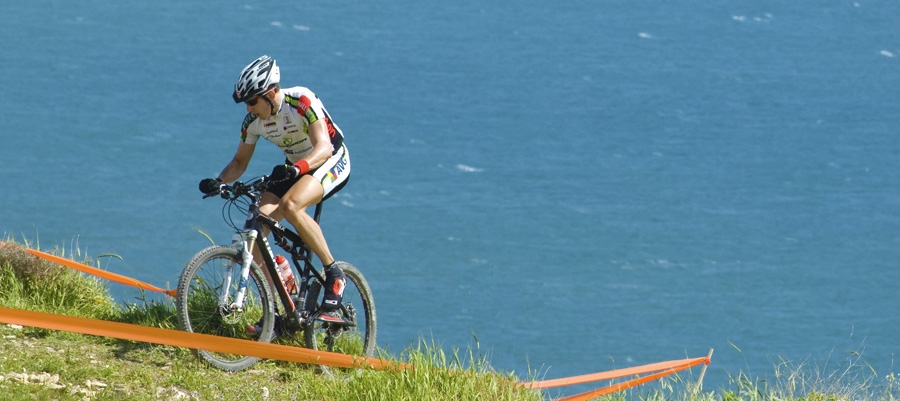
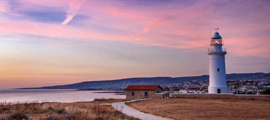
Alternatively, continuing straight for another 2km leads on to the road to Lara, Fontana Amorosa and the Baths of Aphrodite. Further along this road is Akamas lighthouse. Alternative route: You can return to Polis from the lighthouse by going along the Fontana Amorosa road to the Baths of Aphrodite.
| Start Point: | Polis |
| End Point: | Akamas Lighthouse |
| Total Distance: | 22km |
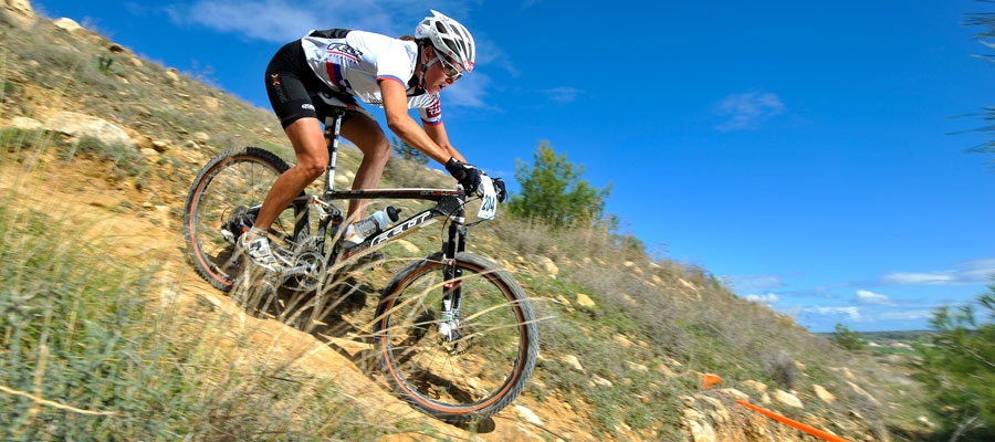
| Difficulty Rating: | A difficult route. Requires a mountain bike with at least 21 speeds. Front fork suspension is recommended. |
| Road Conditions: | A variety of surfaces. |